Abundance: 0.03 to 17.13% (median 0.50%)
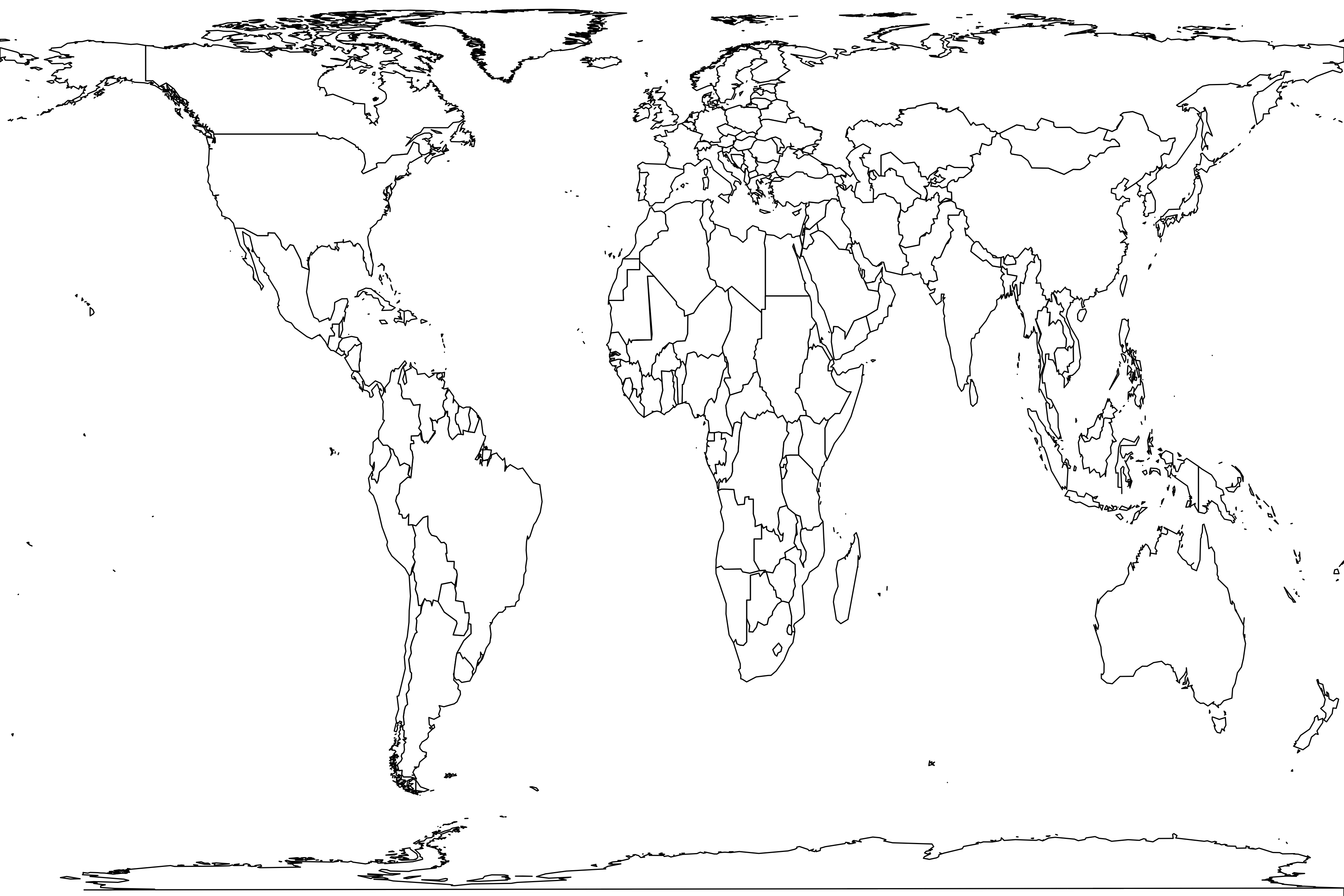
Latitudinal range: 16.6° to 56.3°Habitats: (32), desert/xeric shrubland (2), montane grassland (1), temperate broadleaf/mixed forest (6), temperate coniferous forest (1), temperate savanna (1), tropical/subtropical coniferous forest (2), tropical/subtropical dry broadleaf forest (5)
Found in 50 samples
Canada: Lindsay, Charlie Lake Cave (Zone IV) (Holocene), St. Brieux (spring 2012), Roussillon, Québec
Mexico: La Reserva Natural Sierra Nanchititla, Estación Científica Las Joyas, Tolistoque (dry season), Ajos, Madera West, Pico de Orizaba National Park, Pastorías (secas), San Juan Bautista Cuicatlân (lluvias), La Playa (Holocene)
United States: Rocky River, Boulder County, North Fork of the Cache la Poudre River, North of the Michigamme Reservoir, Kleberg County, The Wilds, Ardis (Late Pleistocene), Zesch Cave (Late Pleistocene), Vess Cave (Late Pleistocene), Papago Springs Cave (Late Pleistocene), Saber-tooth Cave (Late Pleistocene), Golf Course (Late Pleistocene), Harrodsburg Crevice (Late Pleistocene), Cueva Quebrada (Late Pleistocene), CA-SLO-585 (Locus 6A, Late Holocene) (Holocene), Bluegrass (macro) (Holocene), McIntosh (Holocene), Taddlock (Holocene), Croley-Evans (Holocene), Cadwalader (Holocene), Mykut Rockshelter (Holocene), Black Cat Cave (interior) (Holocene), Coffey (Horizon III-5, 1972-73) (Holocene), Pine Hill (Holocene), Cole Gravel Pit (Holocene), Scovill (Holocene), Jones (Late Pleistocene), Meyer Cave (Holocene), Bootlegger Sink (Pleistocene - Holocene), Prairie Creek (Zone B) (Holocene), Kathy's Pit (Pleistocene - Holocene), Schulze Cave (layer B) (Holocene), Schulze Cave (layer C1) (Late Pleistocene), Schulze Cave (layer C2) (Late Pleistocene), Natural Chimneys (Late Pleistocene), Flagg Swamp Rockshelter (Archaic) (Holocene), West of US 287
See also Mephitis macroura, Mephitis mephitis, Mephitis sp.


